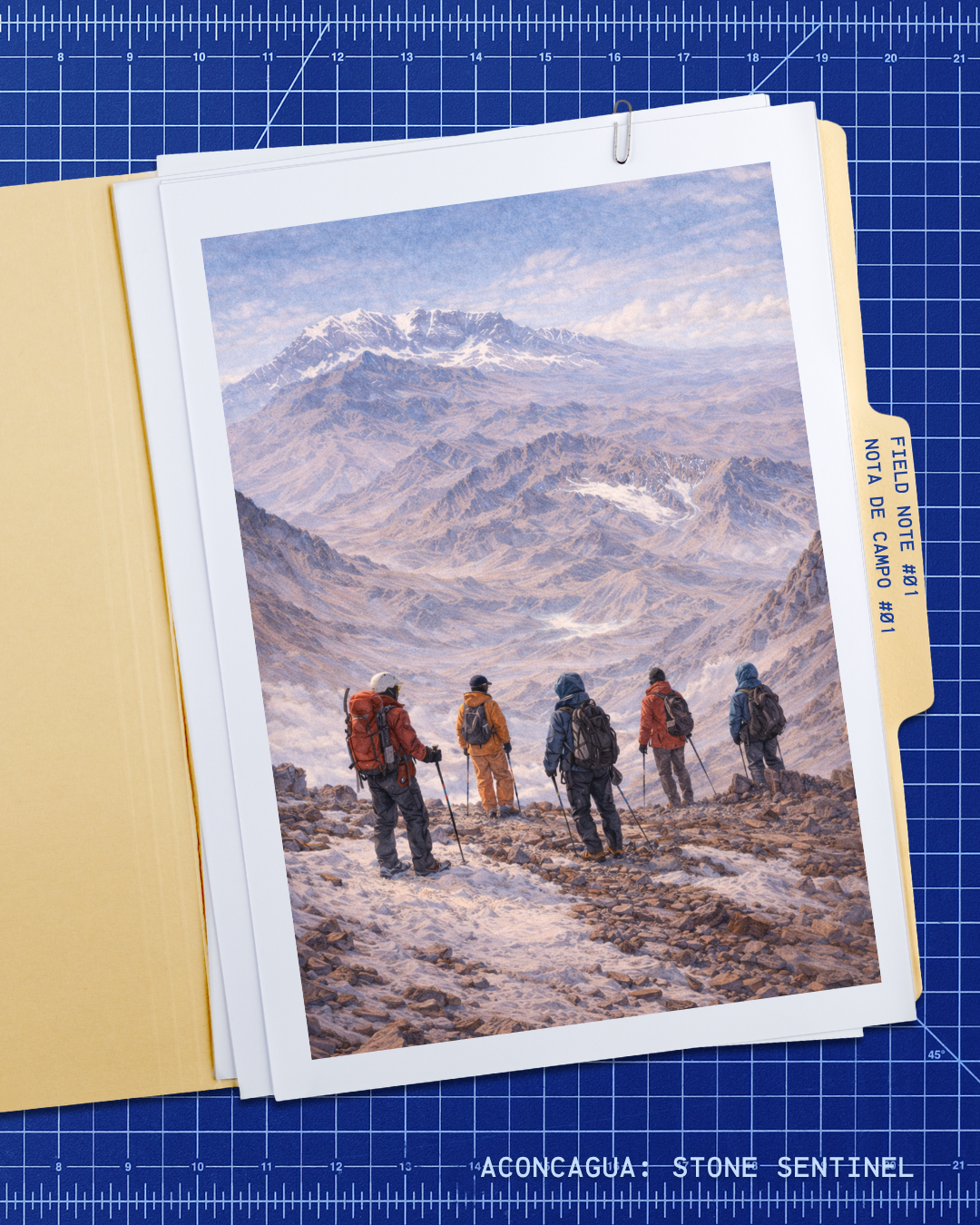
Field note #01
The Highest Outside Asia
The highest mountain in the Americas and the highest peak on Earth outside Asia.
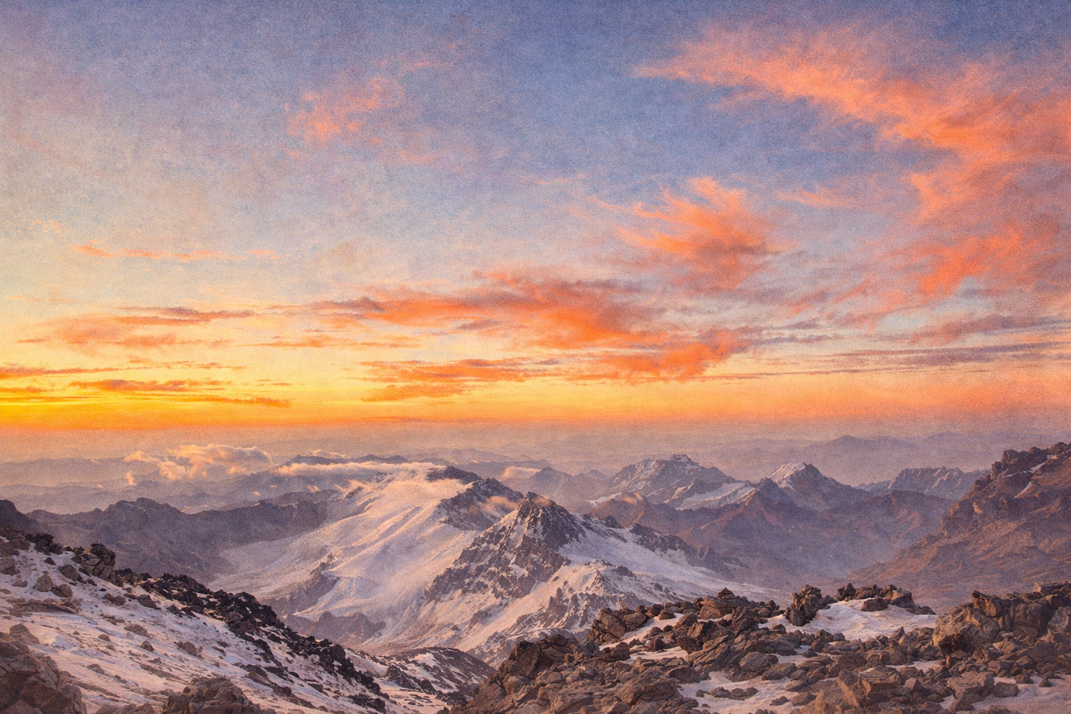
Aconcagua stands above every other peak in the Western Hemisphere and simultaneously holds altitude records for the Southern and Eastern hemispheres. Its position makes it the definitive benchmark outside the Asian 8,000ers. At summit elevation, oxygen partial pressure drops to roughly 47% of sea level — producing genuine hypoxic conditions that degrade judgment and endurance regardless of fitness. The mountain’s height is not incidental to the project: it is the operating environment, and every mechanical design constraint in the simulation traces back to it.
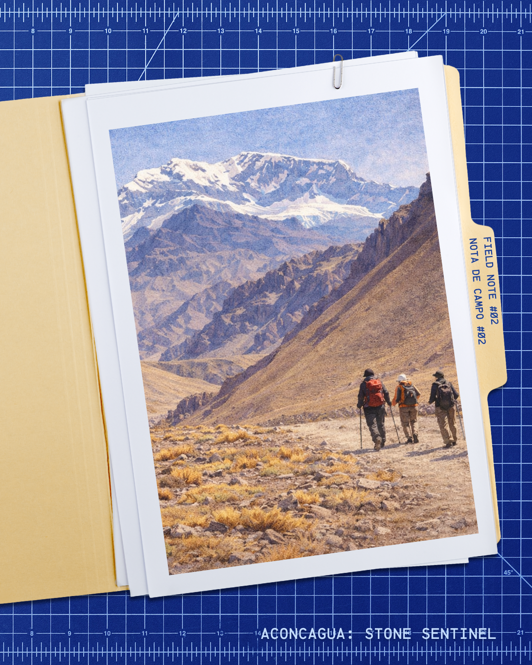
Field note #02
Mendoza / Chile Border
Aconcagua stands in western Mendoza, right on the Chilean border.
The mountain rises in the Central Andes of western Mendoza province, Argentina, directly on the border with Chile. Mendoza city lies roughly 110 km to the southeast and serves as the logistical hub for permits, transport, and gear supply. The park entrance at Horcones is reached via National Route 7 — the same corridor connecting Argentina to Chile through the Andes. That proximity to infrastructure is part of what makes Aconcagua one of the most accessible extreme-altitude ascents on Earth, drawing hundreds of expedition teams from dozens of countries each season.
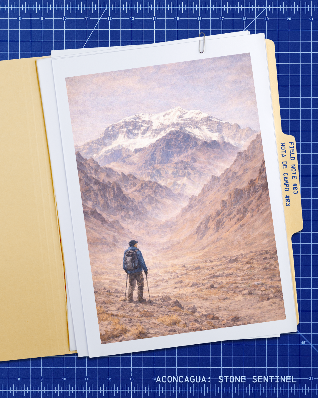
Field note #03
6,962 m
Official park reference height: 6,962 meters above sea level.
Precise surveys have returned slightly varying figures as measurement technology evolved, but 6,962 m is the altitude published by park authorities and used across permits, route planning, and safety briefings. At this elevation, barometric pressure drops to roughly 330 hPa — about a third of sea-level pressure — and the body’s capacity to function without supplemental oxygen depends entirely on prior acclimatization. Every meter above 5,000 m represents a compounding physiological threshold that expedition planners must account for from the moment they set departure dates.
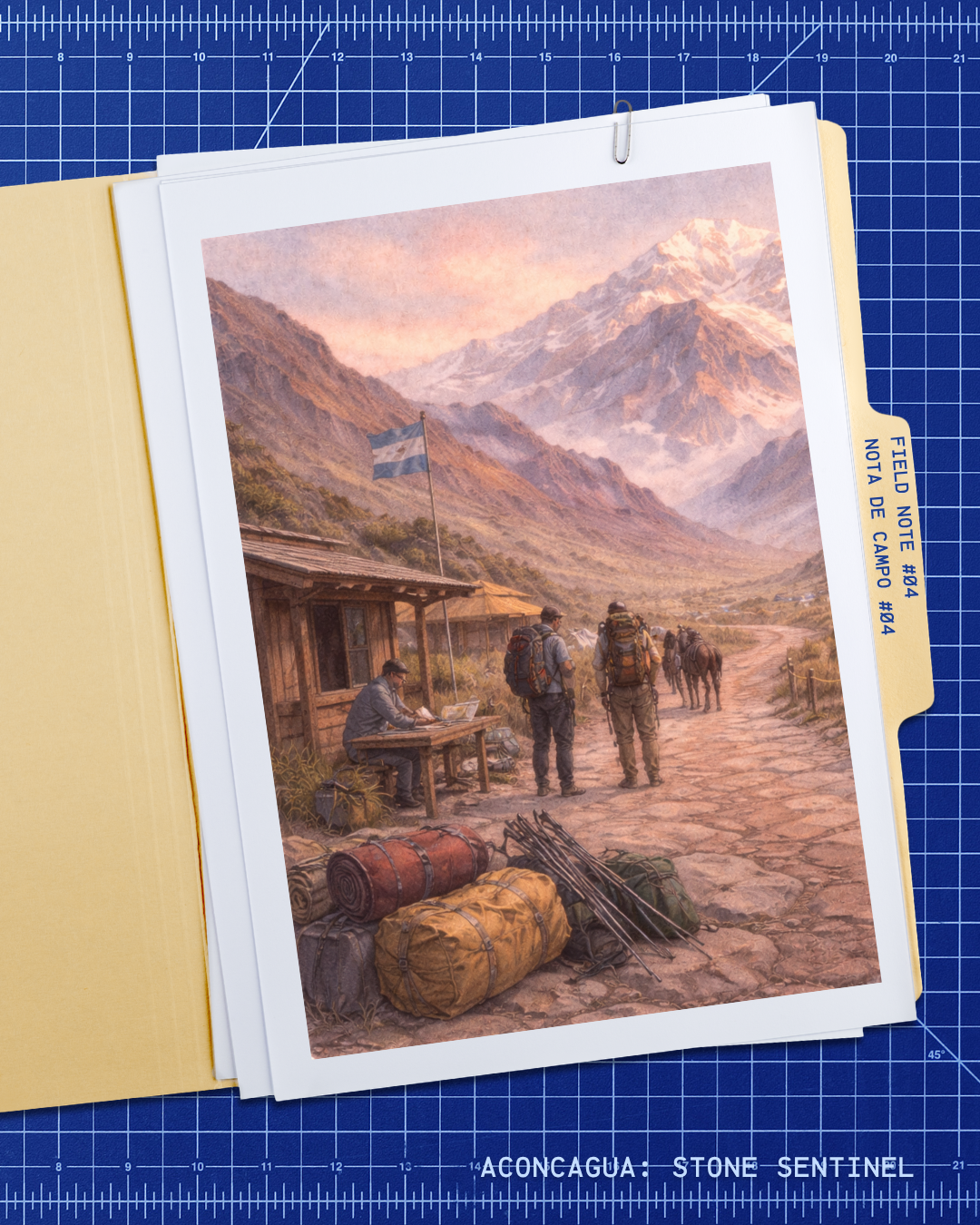
Field note #04
A Provincial Park
Aconcagua is protected within Parque Provincial Aconcagua.
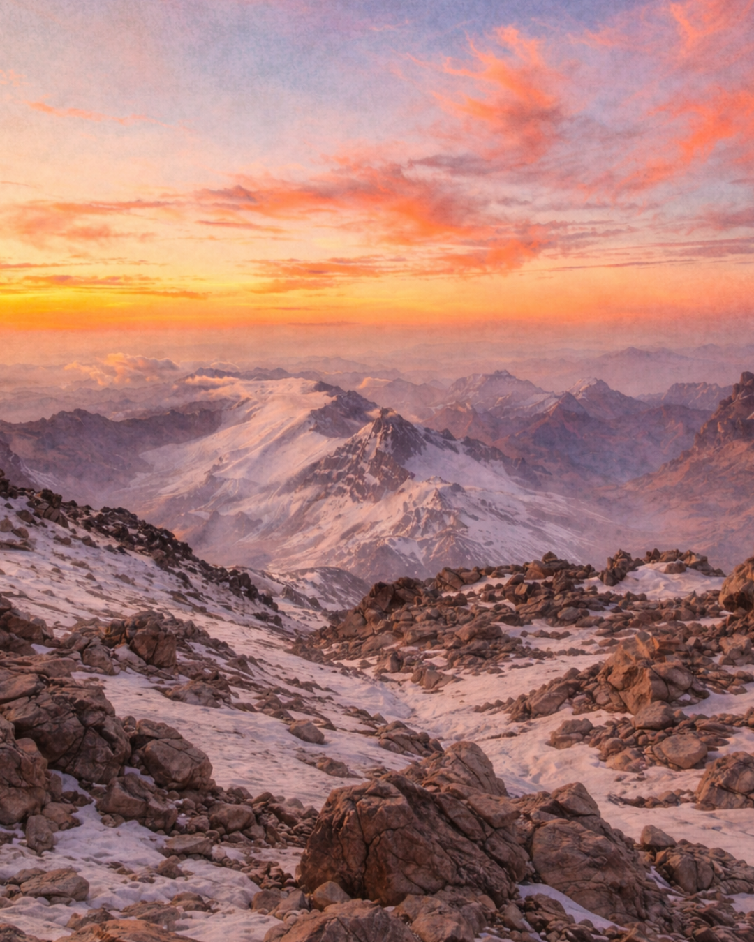
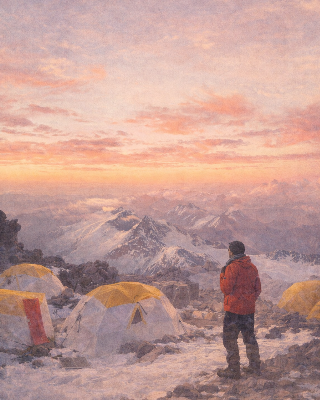
Parque Provincial Aconcagua is administered by the province of Mendoza and covers approximately 71,000 hectares of high Andean terrain. The Horcones entrance at roughly 2,800 m, about 185 km west of the city by road, is where park regulations, permit checks, and load restrictions are formally enforced. Confluencia base camp lies 7 km in at 3,380 m; Plaza de Mulas, the main base for the Normal Route, is reached after a roughly 45 km approach from the gate. The park boundary is the point where logistical planning becomes lived experience.
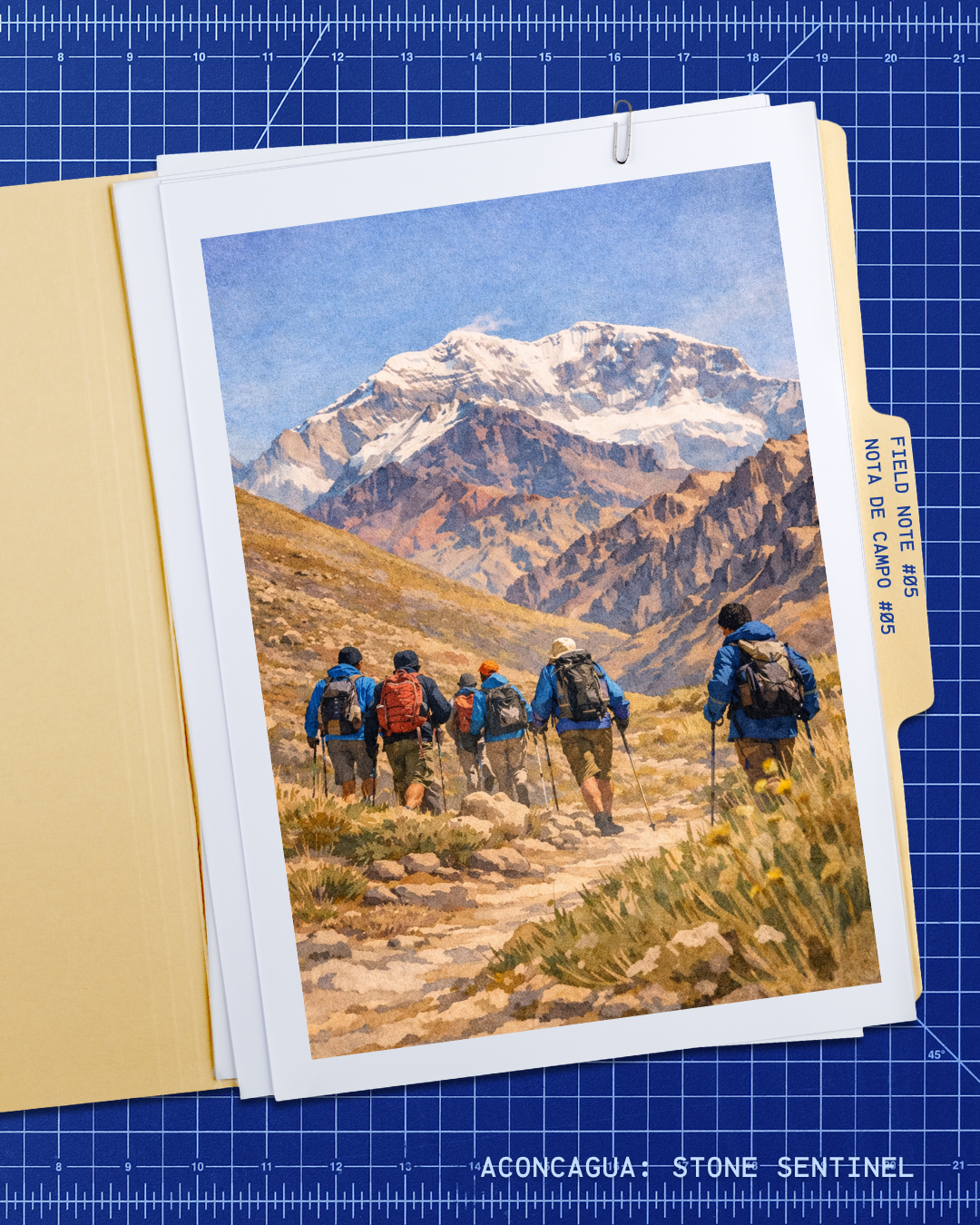
Field note #05
Main Season: Nov–Mar
The official summer season runs from November 1 to March 31.
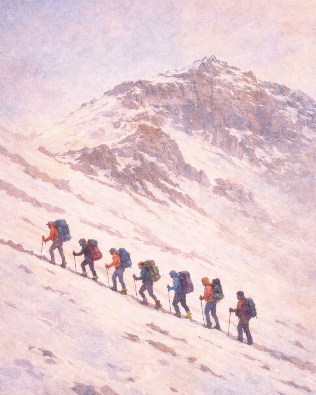
The austral summer window is shaped by both weather patterns and park regulation. Permits are issued from November 1 and the season closes March 31, but the practical summit window is much narrower — most successful ascents occur between late December and early February, when jet-stream patterns tend to allow calmer conditions at altitude. Timing the final push is the most consequential variable: conditions above 6,000 m can change faster than any forecast can fully predict, and the difference between a viable weather window and a dangerous one can be measured in hours.
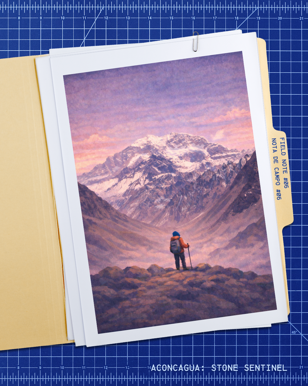
Field note #06
A Miocene Stratovolcano
Aconcagua is the remnant of a composite stratovolcano dating to 15.8–8.9 million years ago.
The Aconcagua Volcanic Complex built its edifice of andesitic-dacitic breccias, lavas, tuffs, and pyroclastic flows during the Miocene, when the Nazca–South America subduction zone drove arc magmatism deep into the continent. The lower section (~13.7–11.3 Ma) and upper section (~11.1–9.6 Ma) are separated by an angular unconformity that records tectonic deformation during construction. The summit rock is andesite dated at ~9.6 Ma; a late intrusion near La Canaleta has been dated at ~8.9 Ma. This is not a dormant cone — volcanism ceased when subduction geometry shifted — but the volcaniclastic strata, alteration zones, and resistant dykes that built the mountain still control every metre of route surface, scree stability, and ridge architecture that climbers navigate today.
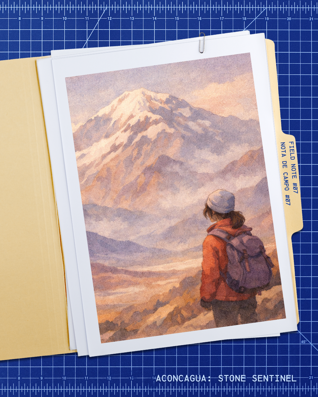
Field note #07
Sentinel of Stone
The name Aconcagua may derive from Quechua and is often linked to the idea of a “stone sentinel.”
The most frequently cited etymology links the name to Quechua: Ackon Cahuak, roughly translating as “stone sentinel” or “white sentinel.” Other scholars propose Mapudungun or Aymara roots, and no single derivation has been definitively established by historical linguistics. The ambiguity is telling: the mountain stands at a cultural crossroads where Andean languages overlapped for centuries, each naming the landscape within its own cosmological framework. That the peak’s name remains genuinely contested keeps it active as a living cultural question — part of the mountain’s identity, not a footnote.
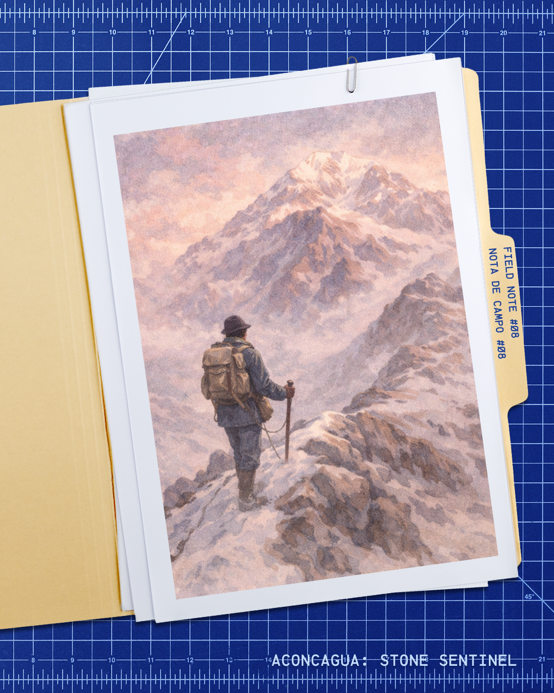
Field note #08
First Ascent / 1897
The first successful ascent was made in 1897 by Matthias Zurbriggen.
Swiss mountain guide Matthias Zurbriggen reached the summit on January 14, 1897, during an expedition organized by English explorer Edward FitzGerald. The approach followed the route now known as the Normal Route, ascending from the northwest — the same line used by the majority of expeditions today. FitzGerald himself did not summit due to altitude sickness, underscoring that the mountain’s physiological demands have always been the primary barrier regardless of mountaineering skill. That first recorded ascent established the reference line and the cautionary precedent that still defines the route’s character.
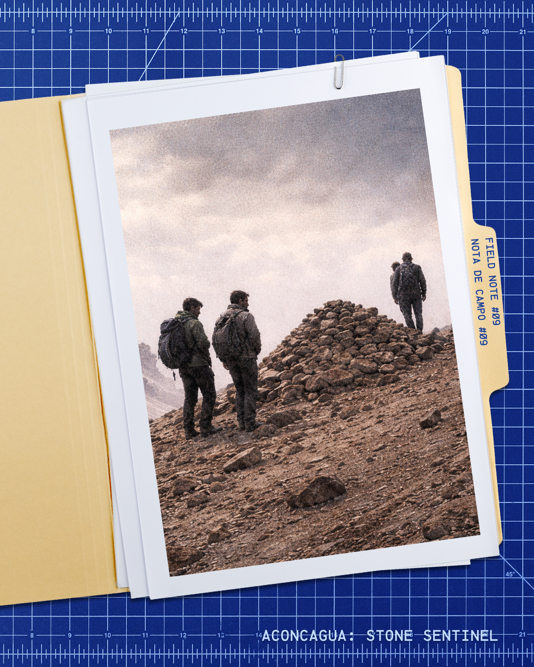
Field note #09
An Inca Ceremonial Mountain
Aconcagua also forms part of a wider Andean archaeological and sacred landscape.
Aconcagua forms part of the broader Andean sacred geography connected to the Qhapaq Ñan, the Inca road network inscribed as a UNESCO World Heritage Site. High-altitude sites across the Andes — many above 5,000 m — served as ceremonial platforms where the Inca state performed ritual offerings of deep political and cosmological significance. The mountain’s cultural importance predates European contact by centuries, representing a continuous relationship between Andean peoples and extreme altitude that long precedes modern alpinism. Archaeological work in the region continues to expand the record of pre-Columbian high-altitude practice.
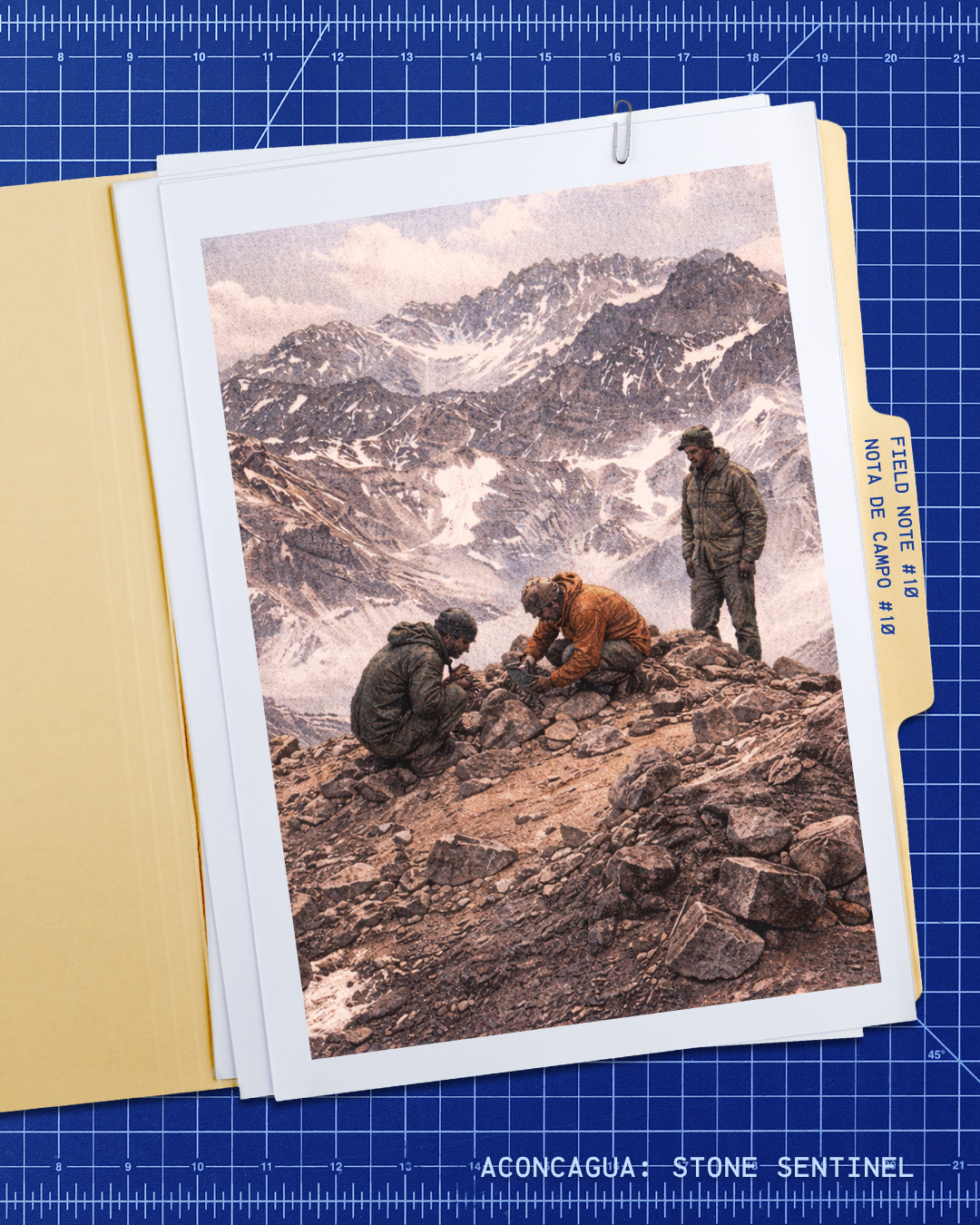
Field note #10
The Aconcagua Child
In 1985, climbers found the frozen remains of a 7-year-old Inca child on the Aconcagua massif.
The remains were discovered at approximately 5,300 m on the southwest ridge in 1985. Archaeological analysis identified them as those of a boy of approximately seven years, sacrificed more than 500 years ago in a ritual known as capacocha — an Inca state ceremony performed at moments of political and cosmological significance. Exceptional preservation by the Andean cold allowed detailed study of the child’s diet, health history, and final hours. The discovery fundamentally reshaped the modern understanding of high-altitude ceremonial practice and remains one of the most significant pre-Columbian archaeological findings of the 20th century.